Spatial Planning for Marine Protected Areas
Spatial Planning for Marine Protected Areas
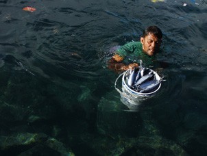
The marine and coastal environment provides essential resources to a wide range of user groups: fishers, aquaculture farmers, recreational users, oil and gas industries, and, more recently, to the wind, tidal and wave energy industries. As populations grow and resources diminish, conflicts can increase between these different user groups, making marine spatial planning and resource allocation critical for sustainable management.
Marine Spatial Planning (MSP) is a process for analyzing and allocating both the spatial distribution of human activities in marine areas and their temporal distributions, in order to use the marine and coastal environment in an ecologically and economically sustainable manner.
Marine Spatial Planning, when designed and implemented effectively, can:
-
reduce conflicts between user groups and increase regulatory efficiency;
-
reduce conflicts between user groups and increase regulatory efficiency;
-
facilitate the development of emerging industries, such as wind and wave energy and aquaculture;
-
help maintain critical ecological processes and ensure the provision of essential ecosystem services that they support (such as fishing, marine tourism and recreation, and cultural uses of the ocean).
(Source: EBM Tools Network, 2010)
COURSES AVAILABLE
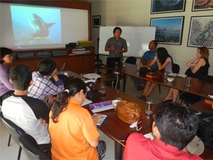
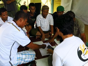
This training provides participants with knowledge on designing an MPA/ on conservation planning based on mapped marine habitat features, cost features, geographically relevant social use patterns, and marine biodiversity. This conservation planning process guides decisions about the location, configuration, and management of conservation areas. The aims of conservation planning are to get efficient, repeatable, transparent, and equitable processed established for making conservation decisions. During training, the participants will be introduced to the use of an automated reserve selection tool called MARXAN used to incorporate data, capture targets for conservation scenarios, and produce locational analyses regarding the placement of an MPA or the design of area management within an MPA.
Objectives
-
To provide knowledge on spatial planning approaches to MPA design.
-
To provide knowledge on spatial planning approaches to MPA design.
-
To enable participants to develop skills using an automated reserve selection tool called MARXAN.
-
To provide participants with the experience of using MARXAN to design an MPA.
Intended Audience
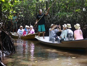
This training is tailored to suit technical staff particularly from:
-
Government agencies
-
Government agencies
-
NGOs
-
Academic institutions or universities
Minimum Requirement
-
S1 (BSc) or equivalent, preferably with basic knowledge of English
-
S1 (BSc) or equivalent, preferably with basic knowledge of English
-
Participants preferably to have basic knowledge of Geographic Information Systems, marine ecosystems and fisheries management
-
Prior completion of MPA 101 training course
-
Familiarity with computers, particularly MS Excel, MS Word
Language
This training can be given in Bahasa Indonesia and/ or English
Duration
Four full days, that can be extended to five days for in-depth exercises.
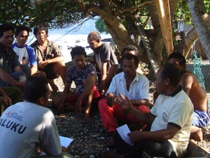
This course provides practitioners with a bottom-up introduction to the processes involved in effective Marine Spatial Planning (MSP). Participants will be introduced to the steps involved in MSP and to the range of tools available to support MSP processes. Participants will explore and understand the different levels of spatial planning and the importance of vertical alignment through different agencies and at different scales. Mechanisms to ensure appropriate levels of stakeholder engagement and involvement in the MSP process are taught, along with the skills required to develop site-based plans for MSP at district and MPA level.
Objectives
-
To convey the role of Marine Spatial Planning in the conservation and utilization of marine resources.
-
To convey the role of Marine Spatial Planning in the conservation and utilization of marine resources.
-
To provide knowledge on the range of steps required to undertake effective Marine Spatial Planning.
-
To provide insight and experience on the range of tools and mechanisms available to support the Marine Spatial Planning process.
Intended Audience
This training is tailored for:
-
MPA managers
-
MPA managers
-
Government technical staff
-
District planners
-
Outreach and communication staff
-
NGOs
-
Universities and academic institutions
-
Community representatives
Minimum Requirement
-
High school degree
-
High school degree
-
Experience in coastal-/ marine-/ MPA-related work
Language
This training can be given in Bahasa Indonesia and/ or English.
Duration
Four full days
Other Courses